Baltischer Wald-Wanderweg - Routenverlauf
Veclaicene Forestland
DIE SCHÖNSTEN HÜGELLANDSCHAFTEN VON NORDLETTLAND
Trapene – Korneti, 44 km, 14.–15. Tag
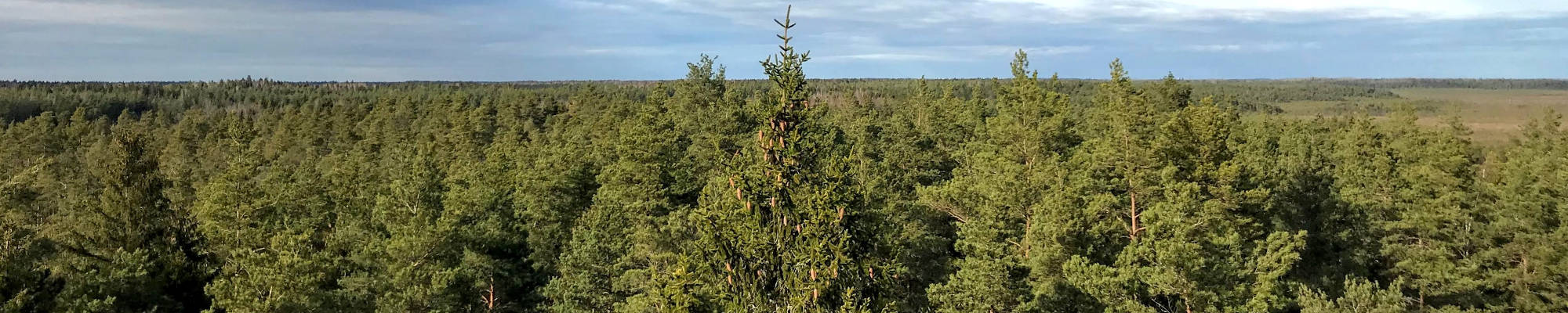
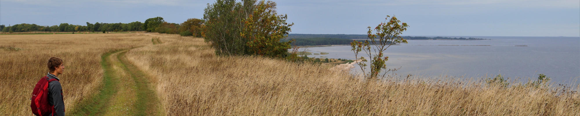
Der Baltische Wald-Wanderweg führt nun durch den Höhenzug von Aluksne. Dies ist einer der schwierigeren Abschnitte, denn die Gegend ist hügelig. Sie ist geprägt von eiszeitlich geprägten Schluchten und Hügeln mit herrlichen Panoramen. Sogar der Suur Munamägi in Estland, die höchste Erhebung des Baltikums, ist von hier aus zu sehen. Auf einigen Anhöhen befanden sich vor Urzeiten Verteidigungsanlagen, denn aus der erhöhten Perspektive der Burgen konnte man potentielle Angreifer frühzeitig sichten. Auf dieser Route macht der Baltische Wald-Wanderweg auch schon einmal einen kleinen Abstecher nach Paganamaa in Estland, wo es einen Aussichtsturm und malerische Waldseen gibt. Die schönsten Jahreszeiten sind hier der Frühling, wenn Wald und Wiesen voller Frühblüher sind, und der Herbst, wenn sich das Laub herrlich bunt färbt.
Die eindrucksvollsten sehenswürdigkeiten: Höhenzug von Aluksne mit Hügeln und Seen, Historisches Zentrum von Ape – Gebäude und Straßen aus Dolomitgestein, Glaziale Rinne von Korneti-Pelli – ein beeindruckendes Eiszeit-Tal, Drusku-Burghügel und Aussichtsturm des Dzerves-Hügels, Raganu-Felsen am Ufer der Vaidava.
 Section 14. Trapene - Ape.
Towards Ape, where witches used to reside on the banks of Vaidava River
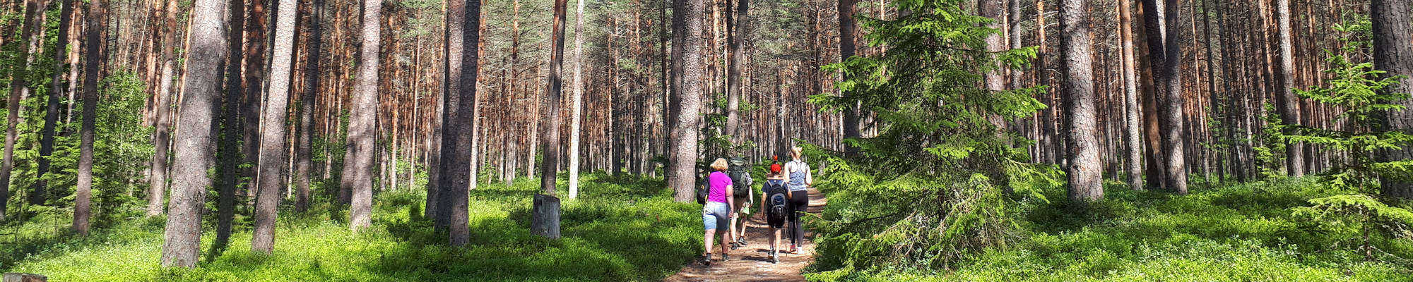
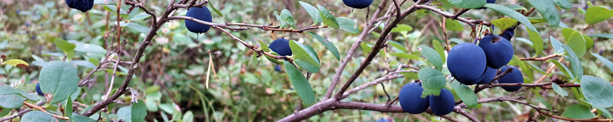
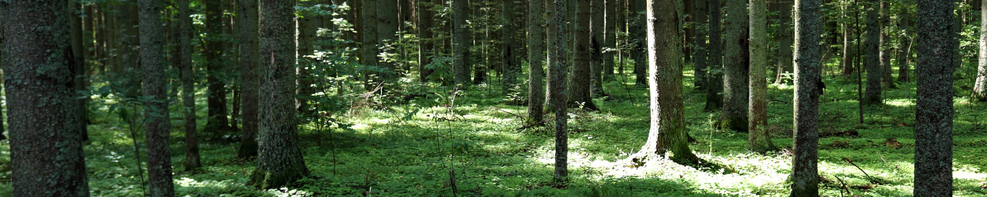
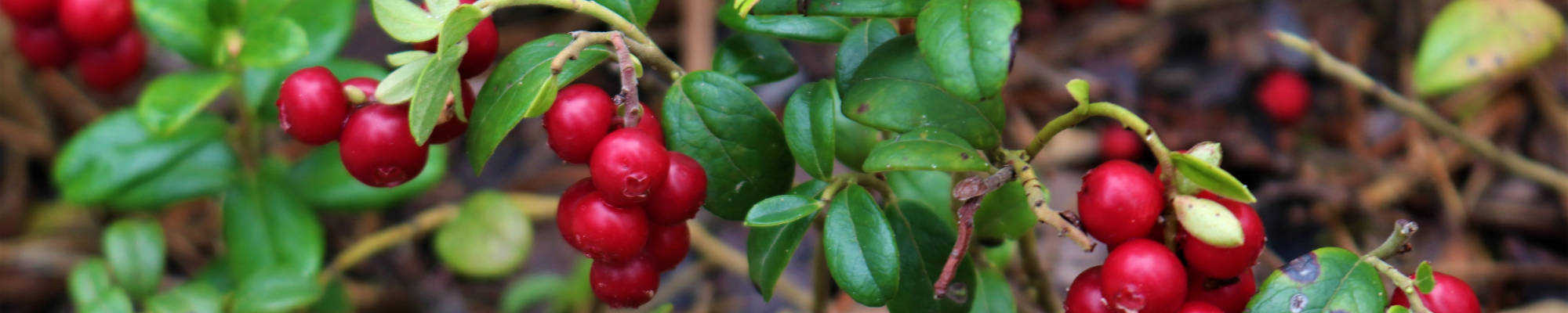
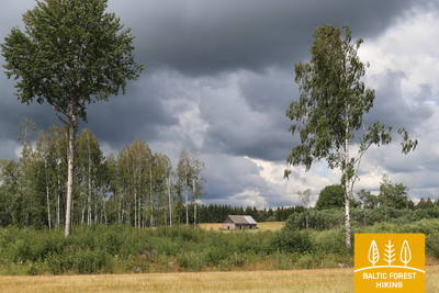
The first 6 kilometres of the Forest Trail lead along P44 until it turns North on the Ādams–Ape road. 4 km before the Riga–Pskov motorway (A2), the Forest Trail passes through a magnificent, dense forest, which is a popular spot for foraging berries and mushrooms in Autumn. After the Riga–Pskov highway, the Forest Trail runs through agricultural lands until it reaches the centre of Ape, one of the smallest towns in Latvia, after crossing the former Ape–Valka narrow-gauge railway line.
 Section 15. Ape – Paganamaa – Korneti – Latvian/Estonian border.
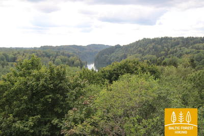
Through the Korneti-Peļļi Furrow and the Paganamaa or Devil's Land
After leaving Ape, the Forest Trail winds through a hilly farmland landscape, then enters a dark forest massive, occasionally interrupted by the blue surfaces of lakes. After Peļļi, the Forest Trail moves down the same path as Peļļi trail, crosses the Latvian/Estonian border and winds along the shores of Lakes Smilšājs, Sūneklis and Ilgājs for 2 km on the Estonian side, known as Paganamaa (translation: Devil's Land). There it descends and enters the Korneti-Peļļi subglacial depression, one of the most impressive ravines in Latvia. The Forest Trail returns to Latvia at Ilgājs and, after a steep climb, takes you through a hilly area to the Drusku castle mound. The Forest Trail descends in Korneti. It is less than 3 km from the centre of Korneti to the Latvian/Estonian border. Features beautiful landscapes on the banks of Lake Lielais Baltiņš and Lake Mazais Baltiņš along the route. The section is located in the protected landscape area “Veclaicene”.